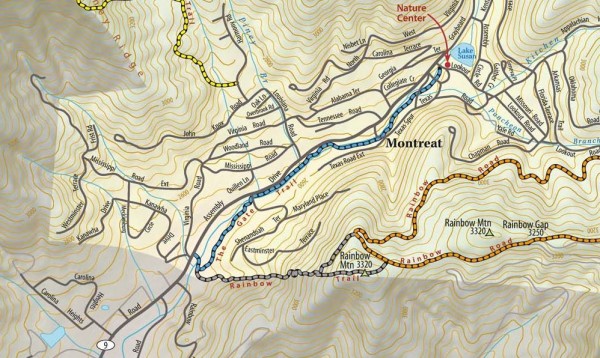
Montreat trail map
near montreat, north carolina
See more
 See more
Nearby Maps

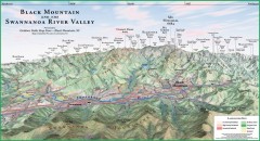
Black Mountain Panorama map
Panoramic map of the Black Mountain, NC and Swannanoa River Valley. Shows all mountains with...
4 miles away
Near Balck Mountain, NC

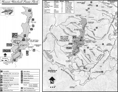
Mount Mitchell State Park map
Official map of Mt. Mitchell State Park in North Carolina. Park contains the 6,684 ft summit of...
8 miles away
Near 2388 Highway 128, Burnsville, NC 28714

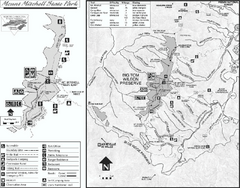
Mount Mitchell State Park map
Detailed recreational map for Mt. Mitchell State Park in North Carolina
8 miles away
Near Burnsville, North Carolina 28714

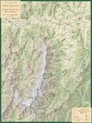
Black Mountains and South Toe and Cane River...
Guide to recreation around Mt. Mitchell State Park and Black Mountains
12 miles away
Near Mt. Mitchell, NC, US

Downtown Asheville Galleria Map
Numbered shopping map of Downtown Asheville.
15 miles away
Near 56 Broadway St., Downtown Asheville, NC, USA

Asheville, NC Tourist Map
15 miles away
Near Asheville, North Carolina

 click for
 Fullsize


2 Comments
this map does not show the"trails" of Montreat, only the town.
It shows some trails (the dashed colored lines).