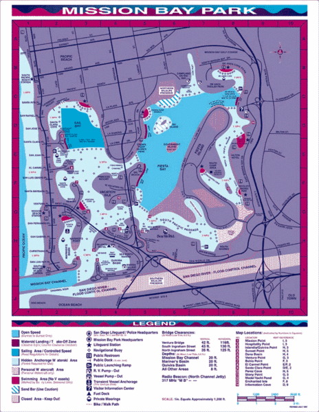
Mission Bay, San Diego Tourist Map
near Mission Bay, San Diego
See more
 See more
Nearby Maps

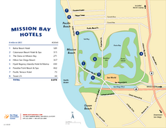
Mission Bay Tourist Map
Tourist map of the Mission Bay area of San Diego, with hotel listings
less than 1 mile away
Near Mission Bay, San Diego, CA

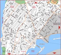
Ocean Beach, San Diego Tourist Map
2 miles away
Near Ocean Beach, San Diego

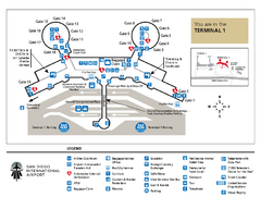
San Diego International Airport Terminal 1 Map
Official Map showing Terminal 1 at San Diego International Airport.
2 miles away
Near San Diego, CA 92138-2776

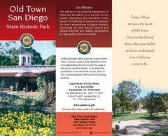
Old Town San Diego State Historic Park Map
Map of park with detail of trails and recreation zones
2 miles away
Near 4002 Wallace St, San Diego, CA

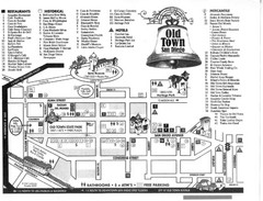
Old Town San Diego Tourist Map
2 miles away
Near Old Town, San Diego

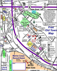
Old Town Map
2 miles away
Near Old Town, San Diego, CA

 click for
 Fullsize

0 Comments
New comments have been temporarily disabled.