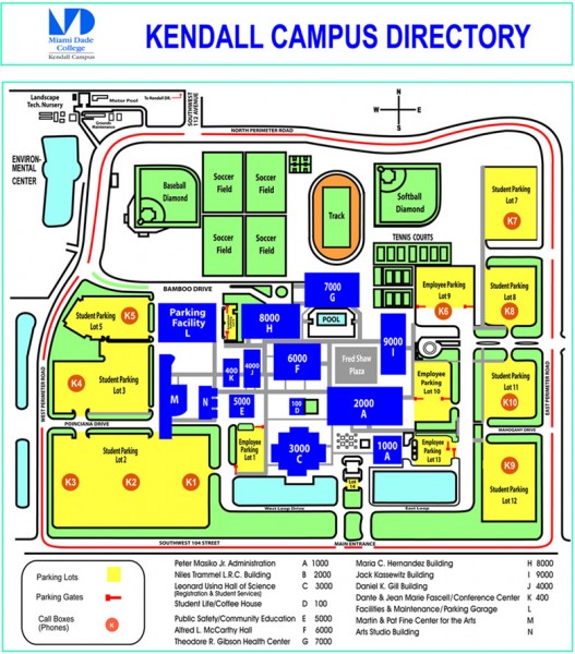
Miami Dade College - Kendall campus Map
near 11011 SW 104 ST, Miami, FL
View Location
Map of the Miami Dade College - Kendall campus, one of 8 campuses of Miami Dade College. From mdc.edu: "Kendall Campus opened in 1967 and is situated amidst a lush, 185 acre tract of trees and lakes, easily accessible by major highways and public transportation. Among the many programs offering hands-on experience are Engineering, Business Administration, Music Business, Biotechnology, Education and Computer and Information Systems."
See more
 See more
Nearby Maps

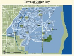
Cutler Bay Map
5 miles away
Near Cutler Bay, Florida

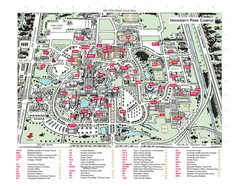
Florida International University Campus Map
6 miles away
Near Florida International University

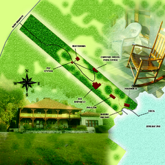
The Barnacle Historic State Park Map
Map of park
9 miles away
Near 3485 Main Highway, Coconut Grove, Florida

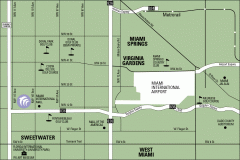
Miami Golf Course map
Map of the golf courses and museums surrounding the Miami International Airport
9 miles away
Near miami, florida

Miami International Airport Terminal Map
Official map of Miami International Airport. All terminals shown.
10 miles away
Near 4200 N.W. 21 Street, Miami, Florida 33122

Miami, Florida Tourist Map
10 miles away
Near Miami, FL

 click for
 Fullsize


0 Comments
New comments have been temporarily disabled.