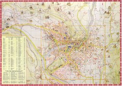
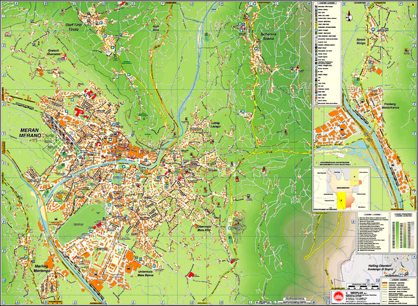
Merano City Map
near Merano, Italy
See more
 See more
Nearby Maps

Merano Map
less than 1 mile away
Near merano, it

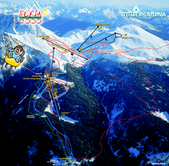
Meran Ski Trail Map
Trail map from Meran 2000, which provides downhill skiing. This ski area has its own website.
4 miles away
Near Avelengo - Hafling, Trentino-Alto Adige, Italy

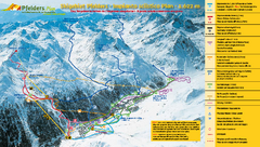
Pfelders Ski Trail Map
Trail map from Pfelders, which provides downhill and nordic skiing. This ski area has its own...
9 miles away
Near Moso in Passiria - Moos in Passeier, Trentino...

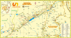
Ultental Deutschnonsberg St. Walburg Tourist Map
Tourist map of the southern Tyrol region around Ultental, Deutschnonsberg, and St. Walburg/ S...
12 miles away
Near St. Walburg, Italy

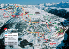
Reinswald Ski Trail Map
Trail map from Reinswald, which provides downhill skiing. It has 4 lifts. This ski area has its own...
12 miles away
Near Sarentino - Sarntal, Trentino-Alto Adige, Italy

 click for
 Fullsize


0 Comments
New comments have been temporarily disabled.