McIntyre Ski Trail Map
near Kennard Road, Manchester, NH 03104
See more
 See more
Nearby Maps

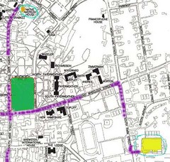
Manchester, New Hampshire City Map
2 miles away
Near Manchester, New Hampshire

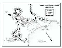
Bear Brook State Park Campground map
Campground map of Bear Brook State Park in New Hampshire
8 miles away
Near Allenstown, NH

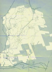
Bear Brook Trails Map
Bear Brook Park Trails and Park map in New Hampshire
9 miles away
Near Bear Brook, New Hampshire

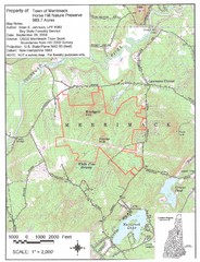
Merrimack Topo Map
A Topographical map Horse Hill Nature Preserve.
13 miles away
Near Naticook Lake, Merrimack, NH

New Hampshire Airports Map
15 miles away
Near New Hampshire

New Hampshire Counties Map
15 miles away
Near New Hampshire

 click for
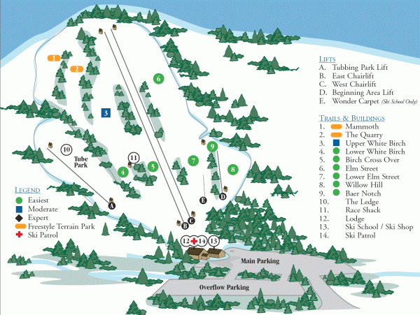
 Fullsize


0 Comments
New comments have been temporarily disabled.