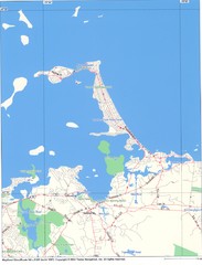
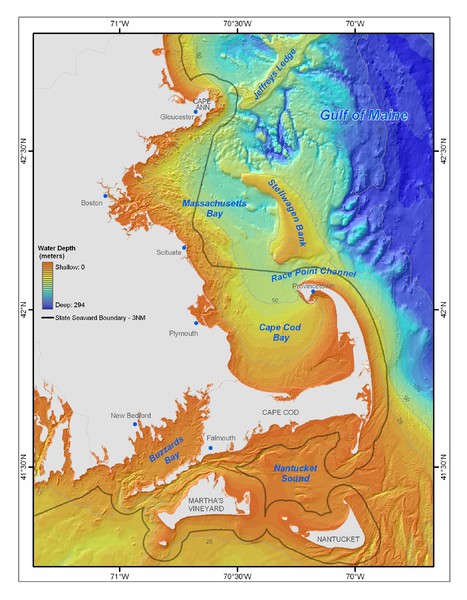
Massachusetts Bay sea floor Map
near Cape Cod
See more
 See more
Nearby Maps

Hull Town Map
22 miles away
Near Hull, MA

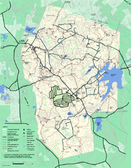
Wompatuck State Park trail map
Trail map of Wompatick State Park in Massachusetts.
23 miles away
Near hingham, ma

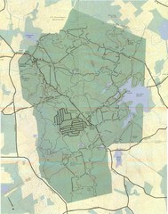
Wompatuck Park Trail Map
Map of Wompatuck Park including trails and roads and park features
23 miles away
Near Hingham, MA

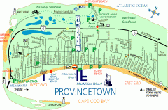
Provincetown, Massachusetts Map
Tourist map of Provincetown, Massachusetts. Shows beaches, visitor's center, bike trails, and...
24 miles away
Near Provincetown, MA

Thompson Island Easement Map
Map of Thompson Island easement. Includes roads, buildings, trails and attractions as well as the...
25 miles away
Near Boston, Massachusetts, USA

Salem, Massachusetts Guide Map
26 miles away
Near Salem, Mass

 click for
 Fullsize


0 Comments
New comments have been temporarily disabled.