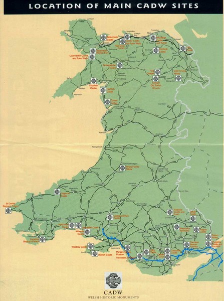
Main Historic Sites in Wales Map
near Cardiff, United Kingdom
View Location
Welsh Historic Monuments map (CADW) showing roads, cities and the main castles and abbeys in Wales.
See more
 See more
Nearby Maps

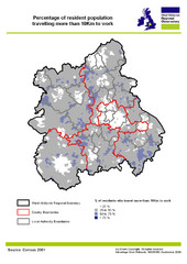
West Midlands Travel Time Statistics Map
Percentage of residents who travel to work in West Midlands, England
21 miles away
Near England

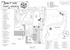
Abbey Dore Court Garden Map
33 miles away
Near Abbey Dore, Herefordshire, England

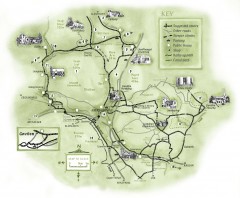
Abergavenny Cycle Map
Shows suggested easy cycling routes, other roads, steeper climbs, parking, public houses, shops...
42 miles away
Near Abergavenny, UK

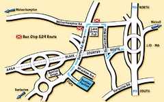
Bentley Map
Location map for Bentley. Includes roads, bus stops, and directions to Bentley Pavilion.
48 miles away
Near Bentley, UK

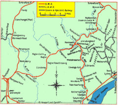
Monmouth and Wye Valley Railways Map
Map showing the 3 major railway lines and the cities with stops of Monmouth, UK.
49 miles away
Near monmouth, uk

 click for
 Fullsize


0 Comments
New comments have been temporarily disabled.