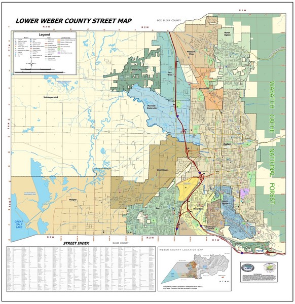
Lower Weber County Street Map
near Ogden, UT, US
See more
 See more
Nearby Maps

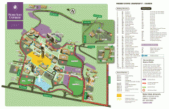
Weber State University Map
Weber State University Campus Map. All buildings shown.
2 miles away
Near Ogden, Utah

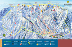
Snowbasin Mountain Trail Map
Ski trail map of Snowbasin Mountain
6 miles away
Near 3930 E 2900, Ogden, Utah, USA

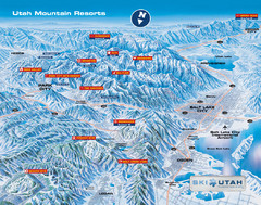
Utah mountain resorts Map
7 miles away

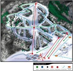
Wolf Mountain Ski Trail Map
Trail map from Wolf Mountain.
7 miles away
Near 3567 Nordic Valley Way, Eden, UT

Snowbasin Nordic Trail Map
Nordic trail map of Snowbasin resort, Utah
7 miles away
Near Huntsville, UT 84317

 click for
 Fullsize


0 Comments
New comments have been temporarily disabled.