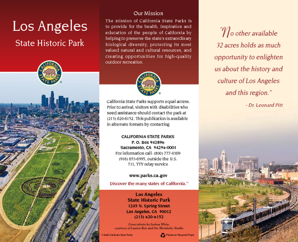
Los Angeles State Historic Park Map
near 1245 N. Spring St, Los Angeles, CA
See more
 See more
Nearby Maps

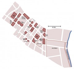
Downtown L.A. walking tour map
Walking tour map of Downtoan Los Angeles near the Civic Center, including the Arts District.
less than 1 mile away
Near 202 W. 1st St. Los Angeles, CA 90012

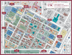
University of Southern California Map
Campus Map of the University of Southern California. All buildings shown.
less than 1 mile away
Near Los Angeles, California

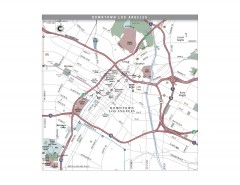
Downtown Los Angeles, California Map
Tourist map of Downtown Los Angeles, California. Shows theaters, museums, public transportation and...
less than 1 mile away
Near los angeles, ca

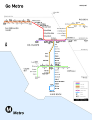
Los Angeles Metro Rail system map
Official map of the LA Metro Rail system. Comprised of the Metro Blue, Green, Red, Purple and Gold...
less than 1 mile away
Near Los Angeles, CA

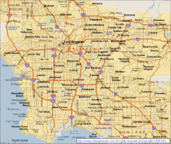
Los Angeles, California City Map
less than 1 mile away
Near Los Angeles, California

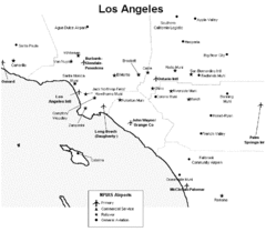
Los Angeles Airport Map
less than 1 mile away
Near Los Angeles

 click for
 Fullsize

0 Comments
New comments have been temporarily disabled.