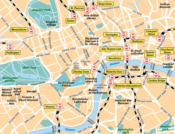
London Bahnhöfe Map
near London
See more
 See more
Nearby Maps

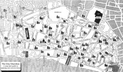
London Church Map
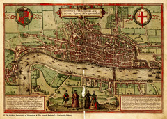
Map of the City of London showing 47 churches and 9 Towers
less than 1 mile away
Near London, England

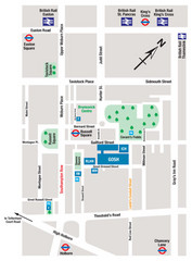
Great Ormond Street Hospital for Children Map
Great Ormond Street Hospital for Children NHS Trust (GOSH)
less than 1 mile away
Near Great Ormond Street, London WC1N 3JH

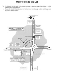
London School of Economics Bus Stop Map
How to get to the London School of Economics.
less than 1 mile away
Near Houghton Street, London

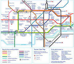
London Tourist Tube Map
London Tube Map with lots of station names replaced with tourist attractions. Key: Union Jack...
less than 1 mile away
Near London

 click for
 Fullsize

0 Comments
New comments have been temporarily disabled.