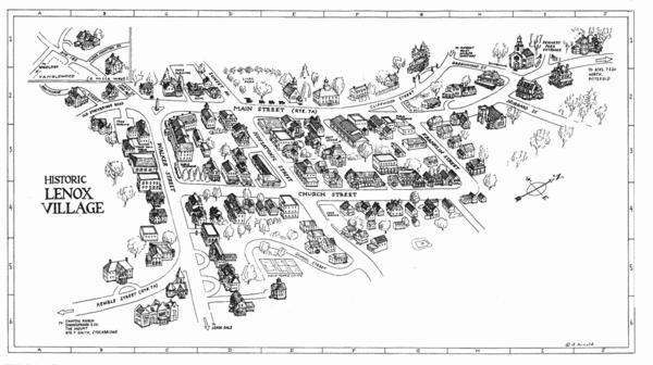
Lenox Village Map
near Lenox, MA
See more
 See more
Nearby Maps

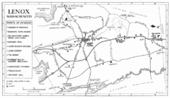
Lenox Town Map
Hand-drawn town map of Lenox, Mass. Bordered by Lenox Mountain and October Mountain. Shows points...
less than 1 mile away
Near Lenox, MA

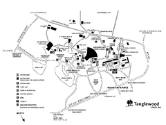
Tanglewood Map
Detailed map of the Tanglewood grounds that includes the location of the Box Office, Friends Office...
1 mile away
Near 297 West Street, Lenox, MA

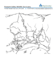
Pleasant Valley Wildlife Sanctuary Trail Map
Trail map of Pleasant Valley Wildlife Sanctuary
3 miles away
Near 472 West Mountain Road, Lenox, MA

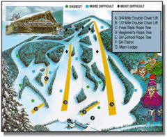
Bousquet Ski Area Ski Trail Map
Trail map from Bousquet Ski Area.
4 miles away
Near Pittsfield, Massachusetts, United States

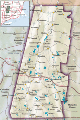
Berkshires Map
Overview map of the Berkshires region of Western Massachusetts
5 miles away
Near Stevens Corner, Massachusetts

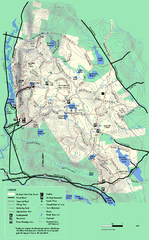
October Mountain State Forest trail map
Trail map of October Mountain State Forest in Massachusetts.
5 miles away
Near lee, ma

 click for
 Fullsize


0 Comments
New comments have been temporarily disabled.