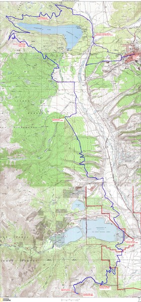
Leadville 100 Mountain Bike Race Map 2008
near Leadville, CO
See more

 See more
Nearby Maps

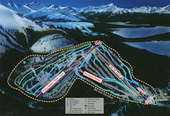
Ski Cooper Ski Trail Map
Trail map from Ski Cooper, which provides downhill and nordic skiing. It has 4 lifts servicing 26...
7 miles away
Near Colorado, United States

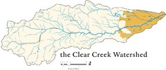
Clear Creek Watershed Map
14 miles away
Near Cleak Creed Watershed, CO

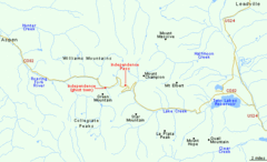
Independence Pass Area, Colorado Map
Basic map of the Independence Pass area near Aspen, Colorado. Independence Pass is the highest...
17 miles away
Near Independence Pass, CO

Copper Mountain Ski Trail map 2006-07
Official ski trail map of Copper ski area for the 2006-2007 season. This map shows the Front Side...
18 miles away
Near Copper Mountain, CO 80443

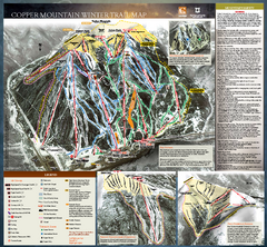
Copper Mountain Resort Ski Trail Map
Trail map from Copper Mountain Resort, which provides downhill and terrain park skiing. It has 21...
18 miles away
Near Colorado, United States

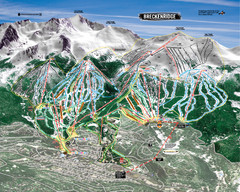
Breckenridge Ski Resort Ski Trail Map
Trail map from Breckenridge Ski Resort, which provides downhill, nordic, and terrain park skiing...
20 miles away
Near Breckenridge, Colorado, United States

 click for
 Fullsize

0 Comments
New comments have been temporarily disabled.