Edit this map

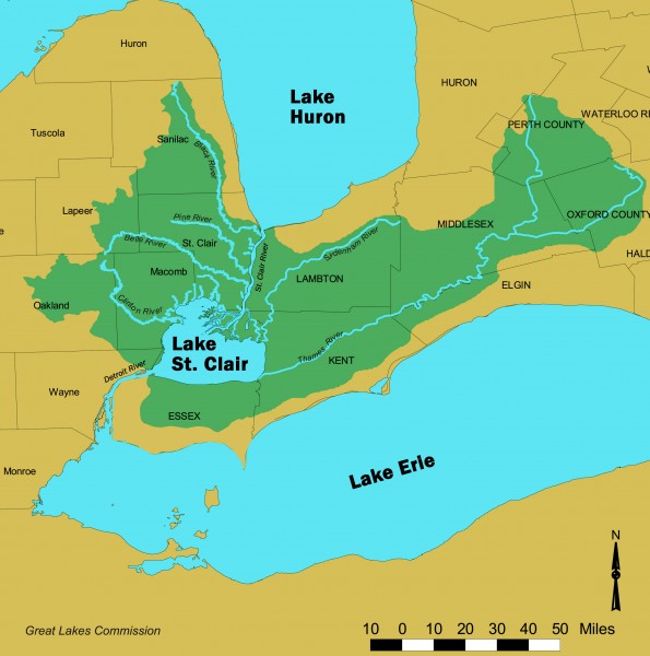
Lake St. Clair/St. Clair River watershed Map

near Chatham-Kent, Canada

View LocationView Map

42.4842511054625 -82.6336669921875 8 satellite
Nearest Map »  Fullsize
2691 × 2714810 KBJPG

Shows the Lake St. Clair/St. Clair River watershed.

From Great Lakes Commission

scott added
Nov 18, 2007

Rating
no ratings

See an error? Report it.

Keywords

reference, great lakes, lake, river, watershed management, erie, huron

0 Comments

New comments have been temporarily disabled.
See more

Nearby Maps

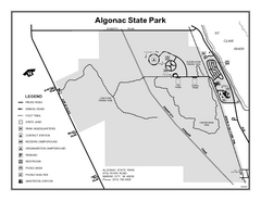
Algonac State Park, Michigan Site Map

Algonac State Park, Michigan Site Map

13 miles away

Near Algonac State Park, Michigan
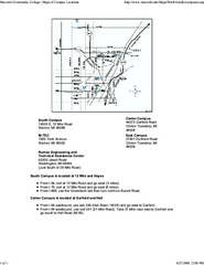
Macomb Community College Campus Map

Macomb Community College Campus Map

Macomb Community College Campus Map. All buildings shown.

18 miles away

Near 14500 EAST TWELVE MILE ROAD WARREN, MI 48093
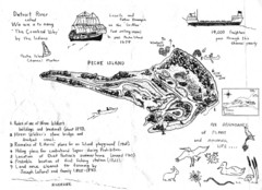
Peche Island Map

Peche Island Map

Hand-drawn map of Peche Island, Michigan

18 miles away

Near Peche Island, Michigan
Belle Isle Tourist Map

Belle Isle Tourist Map

Tourist map of Belle Isle, Detroit's island get-away

20 miles away

rated 3 by 1 person
Near Belle Isle, Michigan
Belle Isle Park Map

Belle Isle Park Map

Map of Belle Isle Park

20 miles away

Near Belle Isle, Detroit, MI, USA
Keywords: recreation
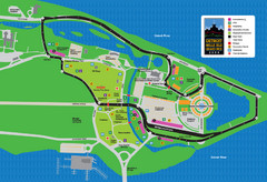
Detroit Belle Isle Grand Prix Map

Detroit Belle Isle Grand Prix Map

23 miles away

Near 300 Renaissance Ctr, Detroit, MI
Keywords: recreation
See more