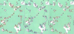
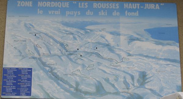
La Vallee des jeux Les Rousses Haut—Jura Ski Trail Map
near Ruelle des Jeux, 45500 Gien, Loiret, Centre, France
See more

 See more
Nearby Maps

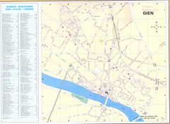
Gien Map
less than 1 mile away
Near Gien, France

Sancerre Town Map
Town center of Sancerre, France. From Penguin edition, pages 13-16
27 miles away
Near Sancerre, France

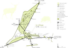
Bois-Rond Bouldering Circuit Map
From summitpost.org: "Bois-Rond is a bouldering area located in the Southern part of the...
48 miles away
Near Corne-Biche, France

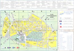
Fontainebleau Avon Map
49 miles away
Near Fontainebleau, France

Chateau Chambord Estate Map
Estate map of the famous Chateau Chambord. Largest Chateau in the Loire River Valley.
52 miles away
Near Chambord, France

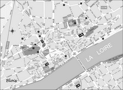
Blois Street Map
61 miles away
Near Blois, France

 click for
 Fullsize

0 Comments
New comments have been temporarily disabled.