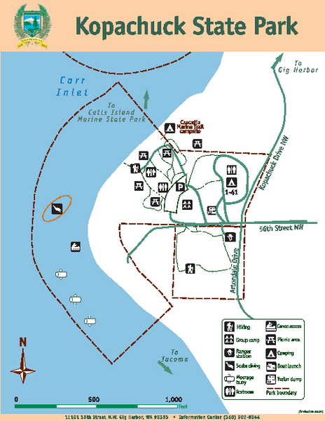
Kopachuck State Park Map
near 11101 56th St, N.W. Gig Harbor, WA
View Location
Map of island with detail of trails and recreation zones
See more
 See more
Nearby Maps

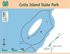
Cutts Island Stay Park Map
Map of park with detail of trails and recreation zones
less than 1 mile away
Near Cutts Island, WA

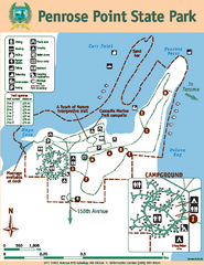
Penrose Point State Park Map
Map of park with detail of trails and recreation zones
5 miles away
Near Penrose Point State Park, Lakebay, WA

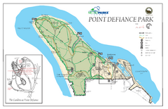
Point Defiance Park Map
7 miles away
Near Point Defiance Park

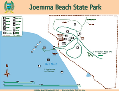
Joemma Beach State Park Map
Map of park with detail of trails and recreation zones
8 miles away
Near Joemma Beach State Park, WA

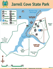
Jarrell Cove State Park Map
Map of park with detail of trails and recreation zones
9 miles away
Near East 391 Wingert Rd, Shelton, WA 98584

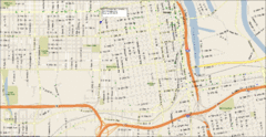
Tacoma, Washington City Map
12 miles away
Near Tacoma, WA

 click for
 Fullsize

0 Comments
New comments have been temporarily disabled.