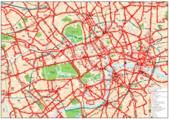
Edit this map

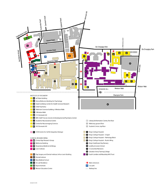
King's College in London Campus Map

near King's College, London

View LocationView Map

51.5054836850673 -0.112180709838867 15 satellite
Nearest Map »  Fullsize
2551 × 2835285 KBPNG

King's College located in London

Created December 22, 2005
From iop.kcl.ac.uk

melanie added
Mar 5, 2009

Rating
no ratings

See an error? Report it.

Keywords

school

0 Comments

New comments have been temporarily disabled.
.
See more

Nearby Maps

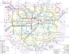
London Tube Map

London Tube Map

less than 1 mile away

Near London
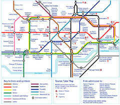
London Tourist Tube Map

London Tourist Tube Map

London Tube Map with lots of station names replaced with tourist attractions. Key: Union Jack...

less than 1 mile away

rated 5 by 1 person
Near London
Keywords: tourism, london, tourist, tube, map
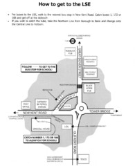
London School of Economics Bus Stop Map

London School of Economics Bus Stop Map

How to get to the London School of Economics.

less than 1 mile away

Near Houghton Street, London
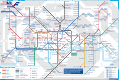
London Underground Tube Map

London Underground Tube Map

Map of London's underground Tube

less than 1 mile away

rated 5 by 3 people
Near London, England
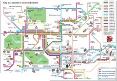
London Central Bus Routes Map

London Central Bus Routes Map

Guide to bus routes in London

less than 1 mile away

Near London, UK
Keywords: transportation
Central London Bus Map

Central London Bus Map

1999 map from The London Tube Map Archive

less than 1 mile away

Near london
See more