Japan Subway Map
near Nagoya, Aichi, Japan
See more
 See more
Nearby Maps

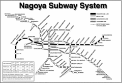
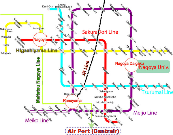
Nagoya Subway Map
0 miles away
Near Nagoya

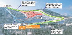
Chausuyama Kōgen Ski Trail Map
Trail map from Chausuyama Kōgen.
less than 1 mile away
Near TOYONE-MURA, AICHI, Japan

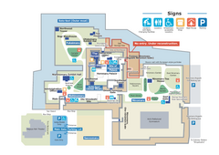
Nagoya Castle Map
Tourist guide map of the grounds of Nagoya Castle, Japan
less than 1 mile away
Near Nagoya Castle, Japan

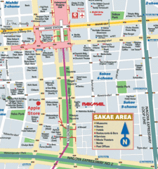
Sakae Nagoya Tourist Map
less than 1 mile away
Near Sakae Nagoya

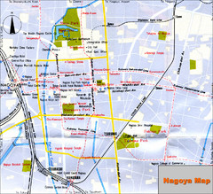
Nagoya Japan Map
Tourist Map of Nagoya Japan showing roads, tourist sites, and subway.
1 mile away
Near Nagoya, Japan

 click for
 Fullsize


0 Comments
New comments have been temporarily disabled.