Edit this map

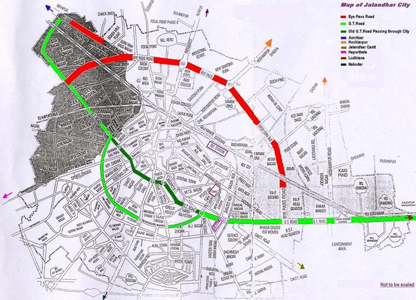
Jalandhar City Map

near Jalandhar, India

View LocationView Map

31.338683161886 75.5814743041992 12 satellite
Nearest Map »  Fullsize
1496 × 1082370 KBJPG

Jalandhar (Jullundur) city map with main roads highlighted

Created by JalandharDistrict Administration
From jalandhar.nic.in

Marjorie added
Feb 1, 2009

Rating
no ratings

See an error? Report it.

Keywords

transportation, highways

1 Comments

i want to see more photos of central town pls. if sombody will uploas this for me , spl if gurudwara diwan asthan.. cos its very close to my home,, and i have childhood memorys with that. i miss jalandhar... i will come back soon

ajay, Jul 1, 2010
New comments have been temporarily disabled.
.
See more

Nearby Maps

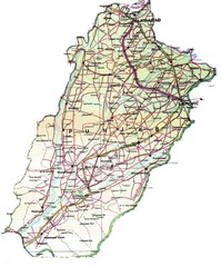
Punjab Guide Map

Punjab Guide Map

19 miles away

Near Punjab
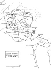
Keywords: tourism
Chandigarh Map

Chandigarh Map

45 miles away

Near Chandigarh, India
Amritsar Map

Amritsar Map

City map of Amritsar, Punjab, India

46 miles away

rated 1.5 by 2 people
Near Amritsar, Punjab, India
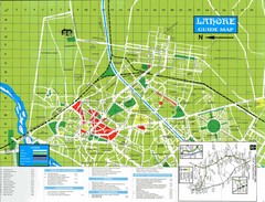
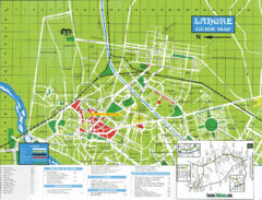
Lahore Guide Map

Lahore Guide Map

Lahore, Pakistan

75 miles away

Near Lahore, Pakistan
Keywords: tourism
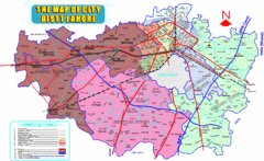
Lahore Map

Lahore Map

Map of city district of Lahore, India. Shows all the union councils of the city district.

77 miles away

rated 2.5 by 2 people
Near Lahore, India
Lahore Tourist Map

Lahore Tourist Map

Pakistan Tourist Map

77 miles away

rated 3 by 1 person
Near Lahore, Pakistan
Keywords: tourism, museum, wagha
See more