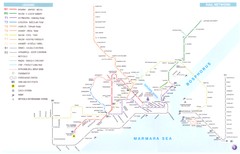
Istanbul Rail Transit Network Map
near Istanbul, Turkey
View Location
Shows suburban trains, metro (underground trains), light rail, modern tramways, historic tramways, funiculars, and aerial tramways
See more
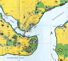
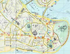 See more
Nearby Maps

Istanbul Transit Map
less than 1 mile away
Near istanbul

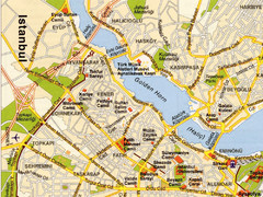
Istanbul Golden Horn Map
very popular tourist destination in istanbul turkey
less than 1 mile away
Near istanbul

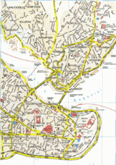
Istanbul City Map
City map of Istanbul with information centers
less than 1 mile away
Near Istanbul, Turkey

Istanbul - West half Map
1 mile away
Near Istanbul

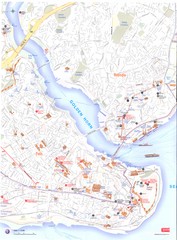
Istanbul City Map
Pictorial map of Istanbul with tourist attractions
1 mile away
Near Istanbul, Turkey

Istanbul Map
2 miles away
Near Istanbul

 click for
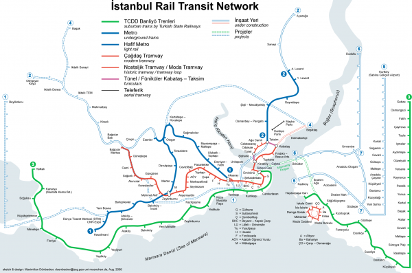
 Fullsize


0 Comments
New comments have been temporarily disabled.