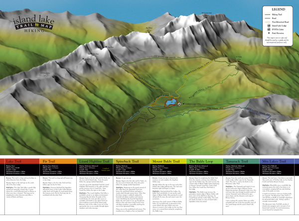
Island Lake Hiking Map
near Fernie, BC
See more
 See more
Nearby Maps

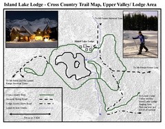
Island Lake Lodge Ski Trail Map
Trail map from Island Lake Lodge, which provides nordic skiing. This ski area has its own website.
less than 1 mile away
Near Fernie, British Columbia, Canada

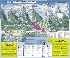
Fernie Ski Trail Map
Official ski trail map of Fernie ski area from the 2007-2008 season.
5 miles away
Near 5339 Fernie Ski Hill Rd., Fernie, BC

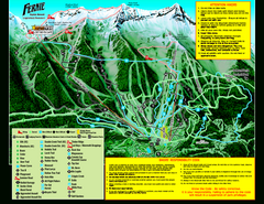
Fernie Alpine Resort 2007 Fernie Summer Map
Trail map from Fernie Alpine Resort, which provides downhill and nordic skiing. This ski area has...
5 miles away
Near Fernie, British Columbia, Canada

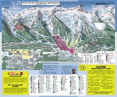
Fernie Alpine Resort Ski Trail Map
Trail map from Fernie Alpine Resort, which provides downhill and nordic skiing. This ski area has...
5 miles away
Near Fernie, British Columbia, Canada

Fernie Town Trails Map
Trail map of recreational trails in and around town of Fernie, BC
5 miles away
Near Fernie, BC

 click for
 Fullsize


0 Comments
New comments have been temporarily disabled.