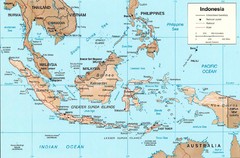
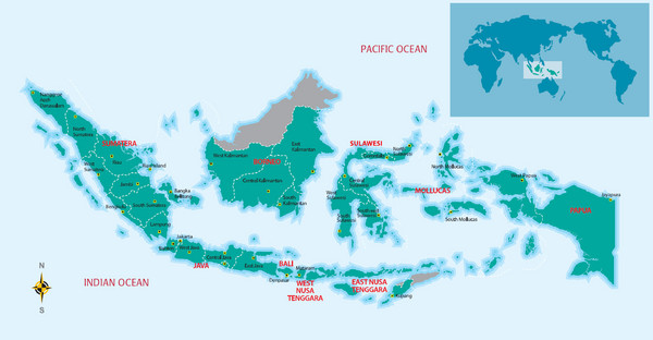
Indonesia Overview map
near Indonesia
View Location
Shows regions of Indonesia and inset map shows Indonesia in context of rest of world.
Tweet
See an error? Report it.
Keywords
reference, indonesia, island, indian ocean, pacific ocean, asia, archipelago, equator, sulawesi, lake toba, mandomai See more
 See more
Nearby Maps

Indonesia Island Map
0 miles away
Near Indonesia

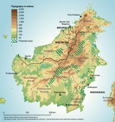
Borneo Protected Areas Map
Physical map of island of Borneo, Indonesia showing protected areas. Shows topography in meters.
62 miles away
Near Borneo, Indonesia

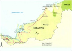
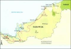
Sarawak Malaysia Map
240 miles away
Near Sarawak Malaysia

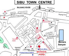
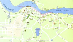
Sibu Tourist Map
258 miles away
Near Sibu

 click for
 Fullsize


1 Comments
a good simple overview map of major Indonesia islands