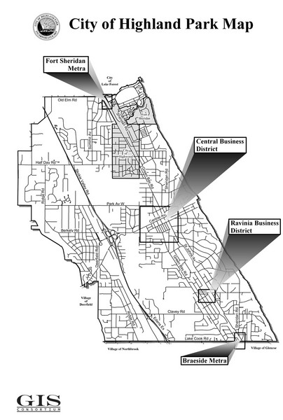
Highland Park City Map
near Highland Park, Illinois
See more
 See more
Nearby Maps

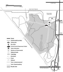
Havenwoods State Forest Map
Hiking trails and bus stops marked on this map.
3 miles away
Near Havenwood State Forest, Wisconsin, USA

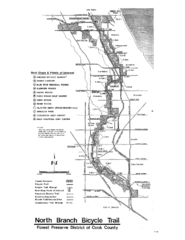
North Branch Bicycle Trail Map
7 miles away
Near North Branch, Cook County, IL

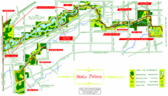
Skokie Division Map
Map of Skokie Division forests and trails, Cook County, IL
9 miles away
Near Skokie Forest Preserve Division

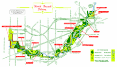
North Branch Trail Map
Picnic Areas and Trail Map
11 miles away
Near North Branch, Chicago, Cook County, IL

Northwestern University Map
Northwestern University Campus Map. All buildings shown.
12 miles away
Near Evanston, Illinois

 click for
 Fullsize


0 Comments
New comments have been temporarily disabled.