Great Barrier Reef and Coral Sea Bathymetry Map
View Location
High resolution depth and elevation map of the Great Barrier Reef, Coral Sea and neighbouring Queensland coastline. The full Digital Elevation Model has a grid pixel size of ~100m. The 3DGBR grid is an extension of the Australian Bathymetry and Topography Grid (Geoscience Australia, 2009) utilising the latest available multibeam, singlebeam, lidar and satellite bathymetry source datasets provided by Federal and State Government agencies, in addition to significant new multibeam data collected during research expeditions in the area. See the source e-Atlas for full resolution and KML versions of this map.
See more
 See more
Nearby Maps

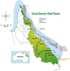
Great Barrier Reef Basin Map
73 miles away

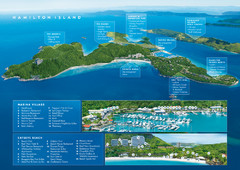
Hamilton Island Tourist Map
144 miles away
Near Hamilton Island

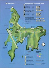
Hamilton Island, Australia Map
145 miles away
Near Hamilton Island, Australia

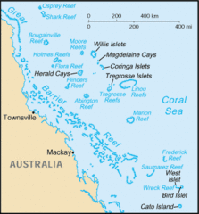
Coral Sea Islands Tourist Map
221 miles away
Near Coral Sea Islands

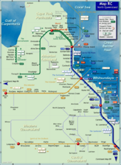
Northern Queensland Rail Map
Map of long-distance rail system throughout Northern Queensland
222 miles away
Near Northern Queensland, Australia

 click for
 Fullsize


0 Comments
New comments have been temporarily disabled.