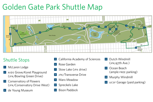
Golden Gate Park Shuttle Map
near Golden Gate Park, San Francisco, CA
View Location
Shows shuttle stops in Golden Gate Park, SF.
Tweet
See an error? Report it.
Keywords
transportation, park, recreation, bison, windmill, de young, museum, rose garden, academy of sciences, stow lake See more

 See more
Nearby Maps

Golden Gate Park Map
Overview map of Golden Gate Park in San Francisco, CA
less than 1 mile away
Near Golden Gate Park, San Francisco, CA

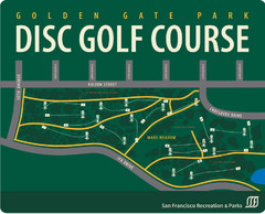
Golden Gate Park Disc Golf Course Map
Disc golf course map of 18-hole course in Golden Gate Park, San Francisco, CA. Officially opened...
less than 1 mile away
Near Golden Gate Park, San Francisco, CA

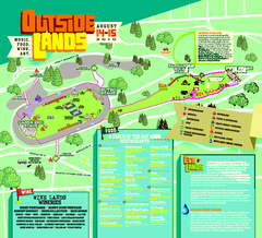
Outside Lands Festival Map 2010
Official Outside Lands Festival map 2010. Held Aug 14-15, 2010 in Golden Gate Park, San Francisco
less than 1 mile away
Near Golden Gate Park, San Francisco

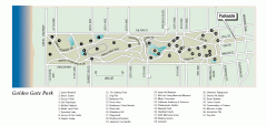
Golden Gate Park tour map
Map of Golden Gate Park in San Francisco in California. Shows all points of interest, picnic areas...
less than 1 mile away
Near san francisco, california

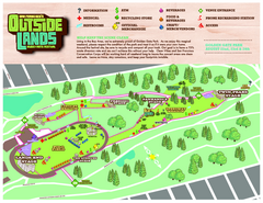
San Francisco Outside Lands Music Festival Map
Official 2008 map of the Outside Lands Music & Arts Festival in Golden Gate Park, San Francisco...
less than 1 mile away
Near Golden Gate Park, San Francisco, California

San Francisco Botanical Garden Map
Overview map of the San Francisco Botanical Garden in Golden Gate Park, San Francisco
less than 1 mile away
Near Richmond District, California

 click for
 Fullsize


0 Comments
New comments have been temporarily disabled.