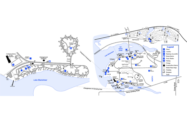
Georgia Veterans State Park Map
near Cordele, GA
See more

 See more
Nearby Maps

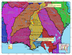
Drainage Basins of the Southeast United States Map
Lakes, rivers and dams in the Apalachicola, Chattahoochee and Flint River System.
17 miles away

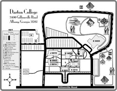
Darton College Campus Map
32 miles away
Near Darton College, Albany, GA

Abraham Balwin Agricultral College Campus Map
40 miles away
Near Abraham Balwin Agricultal College,Tifton, GA

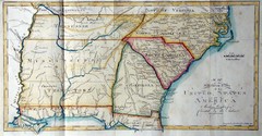
Southern Parts of the US Map
"This map was initially published in Morse's American Gazetteer in 1797 with Georgia...
49 miles away

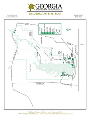
Reed Bingham State Park Map
Map of park with detail of trails and recreation zones
58 miles away
Near 542 Reed Bingham Rd, Adel, GA

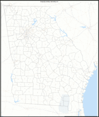
Georgia Zip Code Map
Check out this Zip code map and every other state and county zip code map zipcodeguy.com.
60 miles away
Near Georgia

 click for
 Fullsize

0 Comments
New comments have been temporarily disabled.