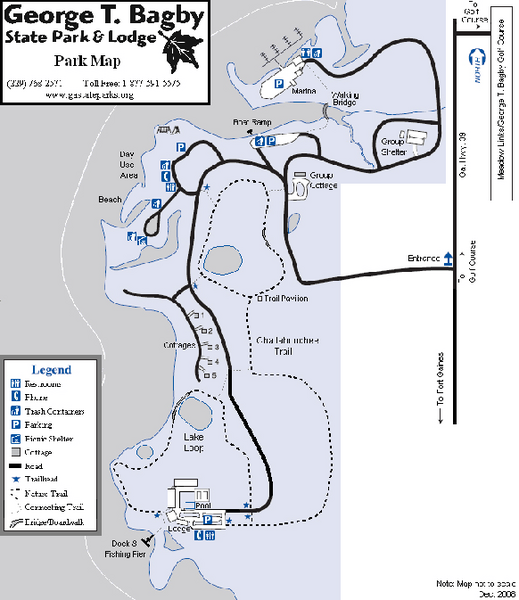
George T. Bagby State Park Map
near 330 Bagby Parkway, Fort Gaines, GA
See more
 See more
Nearby Maps

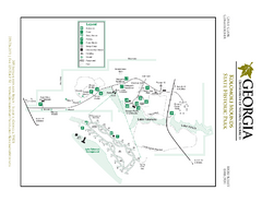
Kolomoki Mounds State Park Map
Map of park with detail of trails and recreation zones
18 miles away
Near Blakely, GA

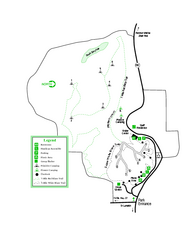
Providence Canyon State Park Map
Map of park with detail of trails and recreation zones
27 miles away
Near 8930 Canyon Rd, Lumpkin, GA

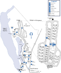
Florence Marina State Park Map
Map of park with detail of trails and recreation zones
28 miles away
Near Florence Marina State Park, GA

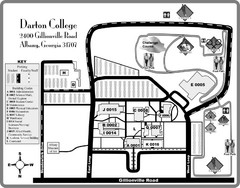
Darton College Campus Map
51 miles away
Near Darton College, Albany, GA

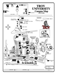
Troy University Map
Campus map of Troy University Troy campus. All areas shown.
53 miles away
Near Troy, Alabama

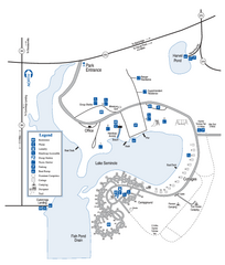
Seminole State Park Map
Map of park with detail of trails and recreation zones
62 miles away
Near Seminole State Park, GA

 click for
 Fullsize

0 Comments
New comments have been temporarily disabled.