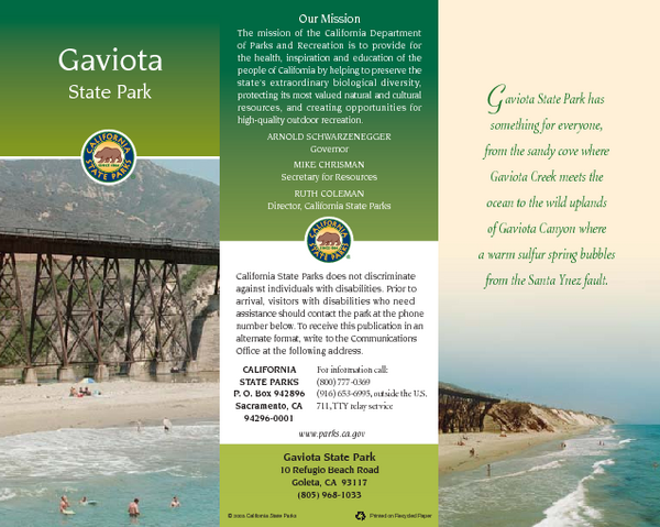
Gaviota State Park Map
near 10 Refugio Beach Rd, Goleta, CA
See more
 See more
Nearby Maps

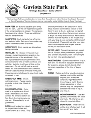
Gaviota State Park Campground Map
Map of campground region of park with detail of trails and recreation zones
less than 1 mile away
Near 10 Refugio Beach Rd, Goleta, CA

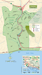
Gaviota State Park Zoom Map
Zoom map of park with detail of trails and recreation zones
less than 1 mile away
Near 10 Refugio Beach Rd, Goleta, CA

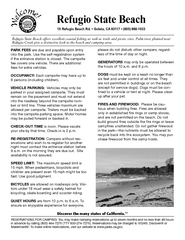
Refugio State Beach Campground Map
Map of campground region of beach with detail of trails and recreation zones
9 miles away
Near Refugio State Beach, Goleta, CA

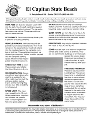
El Capitan State Beach Campground Map
Map of campground region park with detail of trails and recreation zones
12 miles away
Near 10 Refugio Beach Rd, Goleta, CA

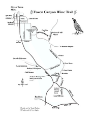
Foxen Canyon Wine Trail Map
Foxen Canyon area wineries and vineyards, near Santa Barbara, California.
17 miles away
Near solvang, california

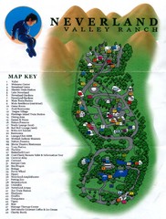
Michael Jackson's Neverland Ranch Map
Map shows all points of interest at Michael Jackson's Neverland Ranch near Los Olivos, CA.
20 miles away
Near 5225 Figueroa Mountain Rd, Los Olivos, CA 93441

 click for
 Fullsize

0 Comments
New comments have been temporarily disabled.