Edit this map

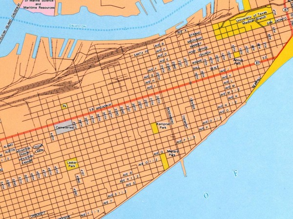
Galveston City Map

near Galveston, Texas

View LocationView Map

29.2944086283136 -94.8069477081299 14 satellite
Nearest Map »  Fullsize
1024 × 768179 KBJPG

Street map of Galveston

From www.lib.utexas.edu

Added on
Jun 2, 2009

Rating
no ratings

See an error? Report it.

Keywords

reference, city, town, downtown, road, street map, ave, k, ave, k, ave, k

0 Comments

New comments have been temporarily disabled.
See more

Nearby Maps

Galveston Island, Texas State Park Facility and...

Galveston Island, Texas State Park Facility and...

8 miles away

Near Galveston Island, Texas
Keywords: recreation
High Island Map

High Island Map

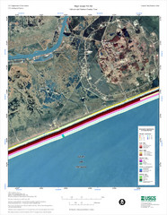
Coastal classification map of High Island

26 miles away

Near Rollover Pass
Keywords: reference, island, coast
High Island Map

High Island Map

31 miles away

Near High Island, Texas
Keywords: reference, coast, dune, beach
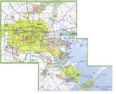
Houston Metropolitan Map

Houston Metropolitan Map

City map of the Galveston to Houston, Texas metro area

36 miles away

rated 5 by 1 person
Near Houston, Texas
Palmetto, Texas State Park Facility and Trail Map

Palmetto, Texas State Park Facility and Trail Map

41 miles away

Near Palmetto, Texas state park
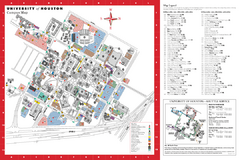
University of Houston Map

University of Houston Map

Campus Map of the University of Houston. All buildings shown.

45 miles away

rated 4 by 1 person
Near Houston, Texas
See more