Edit this map

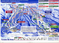
Furano Ski Trail Map

near Furano, Hokkaido, Japan‎

View LocationView Map

43.3421398 142.3832254 14 satellite
Nearest Map »  Fullsize
690 × 604210 KBGIF

Trail map from Furano.

Created 2007
From skimap.org

Skimap added
Aug 16, 2009

Rating
no ratings

See an error? Report it.

Keywords

recreation, skiing, ski area

0 Comments

New comments have been temporarily disabled.
See more

Nearby Maps

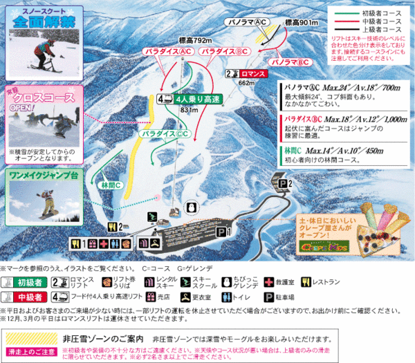
Furano Ski Trails Map

Furano Ski Trails Map

Map marking the great trails on this amazing mountain.

less than 1 mile away

Near furano, hokkaido
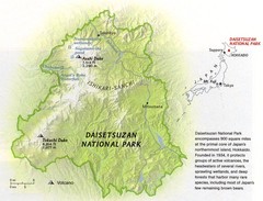
Diasetsuzan National Park Map

Diasetsuzan National Park Map

26 miles away

Keywords: reference
Osakana Fish Map

Osakana Fish Map

Map of Osakana, Japan shows all native fish. In Japanese.

42 miles away

rated 4 by 1 person
Near Osakana, Japan
Keywords: other, fish, japan, island, seafood
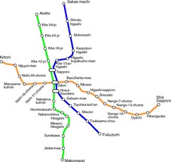
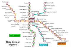
Sapporo Metro Map

Sapporo Metro Map

Simple map of Sapporo's metro system.

55 miles away

Near Sapporo
Sappora Subway Map

Sappora Subway Map

Clear map of Sappora's subway system.

55 miles away

Near sappora
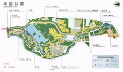
Nakajima Park Map

Nakajima Park Map

56 miles away

Near Sapporo
Keywords: tourism, parks
See more