
 Edit this map

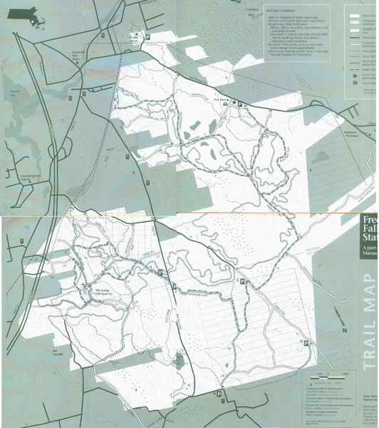
Freetown State Forest Map
near Freetown State Forest, MA

 See more

Nearby Maps
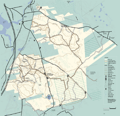
Freetown-Fall River State Forest trail map
Trail map of Freetown-Fall River State Forest in Massachusetts
less than 1 mile away
Near Slab Bridge Rd., Assonet, ma
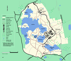
Massasoit State Park trail map
Trail map of Massasoit State Park in Massachusetts
7 miles away
Near east taunton, ma
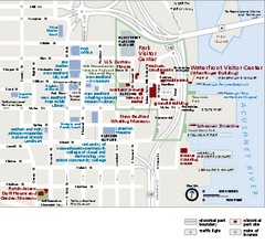
New Bedford Whaling National Historical Park...
Official NPS map of New Bedford Whaling National Historical Park in Massachusetts. Map shows all...
11 miles away
Near 33 William Street New Bedford, MA 02740
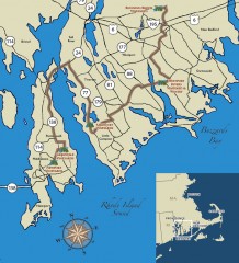
Southeastern New England Wine Trail Map
Map of the Southeastern New England Wine Trail, showing all vineyards and wineries that are members...
17 miles away
Near newport, rhode island
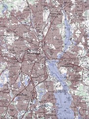
Providence Topo Map
Topo map of Providence, East Providence, Cranston, and Pawtucket, RI. Original scale 1:50,000
18 miles away
Near Providence, RI
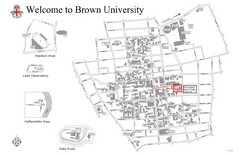
Brown University Map
19 miles away
Near Providence, RI

 See more


 Explore Maps
 Map Directory
 click for
 Fullsize


0 Comments
New comments have been temporarily disabled.