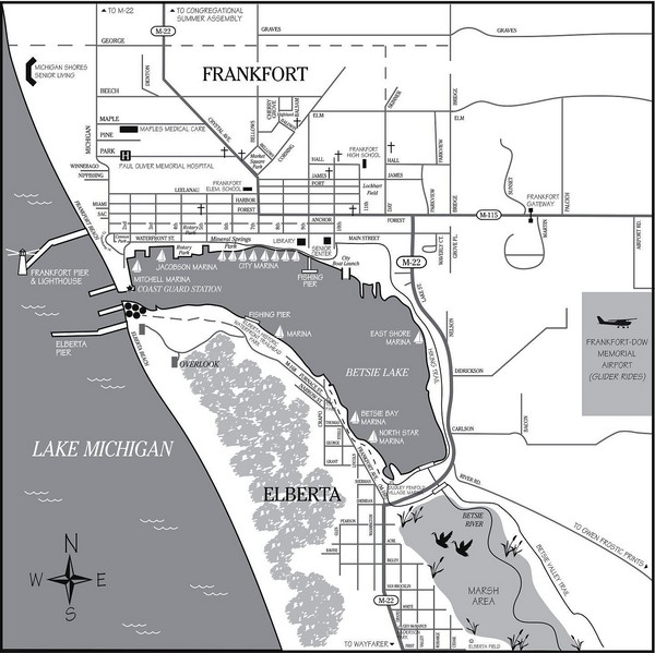
Frankfort-Elberta City Map
near Frankfort, Michigan
See more
 See more
Nearby Maps

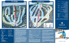
Crystal Mountain Ski Trail Map
Trail map from Crystal Mountain.
14 miles away
Near Thompsonville, Michigan, United States

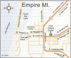
Empire Michigan Map
15 miles away
Near empire, mi

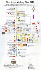
Glen Arbor MI walking map
22 miles away
Near Glen Arbor, MI

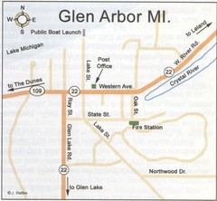
Glen Arbor MI Map
22 miles away
Near Glen Arbor, MI

Interlochen State Park, Michigan Site Map
23 miles away
Near Interlochen State Park, MI

The Homestead Ski Trail Map
Trail map from The Homestead.
24 miles away
Near Wood Ridge Road, Glen Arbor, MI

 click for
 Fullsize


0 Comments
New comments have been temporarily disabled.