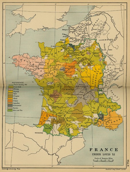
France Under Louis XI Historical Map
near France
See more
 See more
Nearby Maps

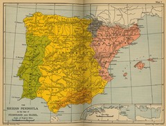
The Iberian Peninsula Historical Map
0 miles away
Near Portugal

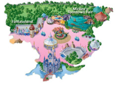
Cartoon Map of Disney
54 miles away

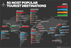
50 Most Popular Tourist Destinations Map
Shows the 50 most popular tourist destinations in the world. Each destination shows number of...
95 miles away
Near World

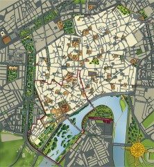
Cordoba Tourist Map
Tourist map of Cordoba, Spain. Shows major buildings.
113 miles away
Near Cordoba, Spain

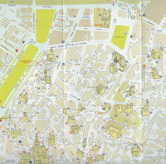
Cordoba Tourist Map
Tourist map of central Cordoba, Spain. Shows major public buildings. Scanned.
113 miles away
Near Cordoba, Spain

 click for
 Fullsize

0 Comments
New comments have been temporarily disabled.