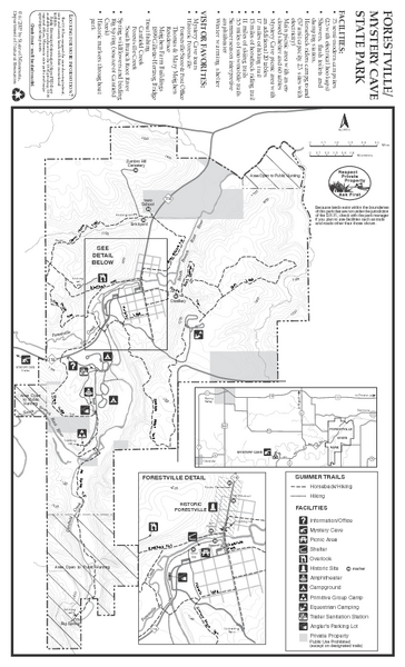
Forestville/Mystery Cave State Park Map
near 21071 Country Rd 118, Preston, MN
See more
 See more
Nearby Maps

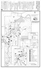
Forestville/Mystery Cave State Park Winter Map
Winter map of park with detail of trails and recreation zones
less than 1 mile away
Near 21071 Country Rd 118, Preston, MN

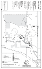
Lake Louise State Park Map
Map of park with detail of trails and recreation zones
17 miles away
Near Lake Louise State Park, MN

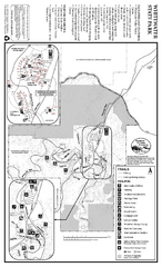
Whitewater State Park Map
map of park with detail of trails and recreation zones
30 miles away
Near Altura, MN

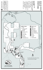
Beaver Creek Valley State Park Map
Map of park with detail of trails and recreation zones
31 miles away
Near Beaver Creek Valley State Park, Caledonia, MN

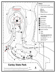
Carley State Park Map
Map of park with detail of trails and recreation zones
33 miles away
Near Carley State Park, MN

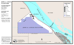
John A. Latsch State Park Map
Map of park with detail of trails and recreation zones
41 miles away
Near John A. Latsch State Park, MN

 click for
 Fullsize

0 Comments
New comments have been temporarily disabled.