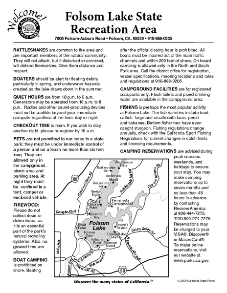
Folsom Lake State Recreation Area Campground Map
near 7806 Folsom-Auburn Rd, Folsom, CA
See more
 See more
Nearby Maps

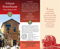
Folsom Powerhouse State Historic Park Map
Map of park with detail of trails and recreation zones
less than 1 mile away
Near 7806 Folsom-Auburn Rd, Folsom, CA

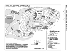
Sierra College Campus Map
Sierra College Campus Map. All buildings shown.
6 miles away
Near 5000 Rocklin Road, Rocklin, CA 95677

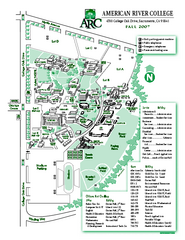
American River College Campus Map
American River College Campus Map. Shows all buildings.
11 miles away
Near 4700 College Oak Drive, Sacramento, Calif. 95841

Auburn State Recreation Area Map
Map of park with detail of of trails and recreation zones
16 miles away
Near 501 El Dorado St, Auburn, CA

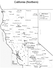
Northern California Airports Map
18 miles away
Near San Francisco, CA

 click for
 Fullsize


0 Comments
New comments have been temporarily disabled.