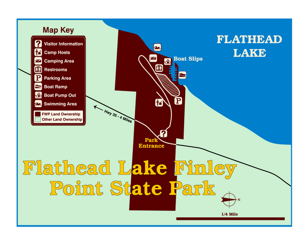
Finley Point State Park Map
near Finley Point State Park, MT, USA
View Location
This park is located in a secluded, mature pine forest near the south end of Flathead Lake. Enjoy one of the 16 campsites here with water and electrical hook ups, plus a boat pumpout station.
See more
 See more
Nearby Maps

West Shore State Park Map
Glacially carved rock outcrops rise from Flathead Lake to overlooks with spectacular views of the...
5 miles away
Near West Shore State Park, MT, USA

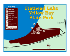
Yellow Bay State Park Map
Yellow Bay is in the heart of the famous Montana sweet cherry orchards, blossoms color the...
8 miles away
Near Kallispell, MT, USA

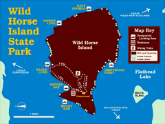
Wild Horse Island State Park Map
Boat access to this day-use-only, primitive park is regulated to protect the 2,000-acre island. The...
8 miles away
Near Flathead Lake State Park Wild Horse, MT, USA

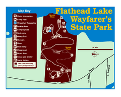
Wayfarers State Park Map
8 miles away
Near Bigfork, MT, USA

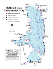
Bathymetric Map of Flathead Lake
Bathymetry refers to underwater depth
9 miles away
Near Flathead Lake, MT

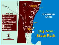
Big Arm State Park Map
Clear map and map key of Park camping grounds.
11 miles away
Near Polson, MT, USA

 click for
 Fullsize

0 Comments
New comments have been temporarily disabled.