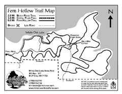
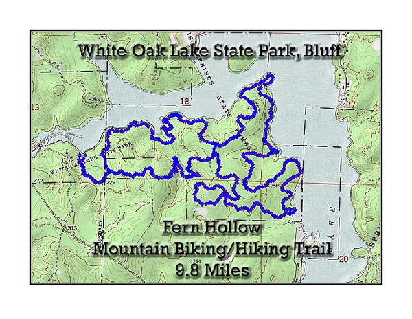
Fern Hollow Trail - White Oak Lake State Park Topographical Map
near Bluff City, AR
View Location
Topographical Map of Fern Hollow Mountain Biking and Hiking Trail in White Oak Lake State Park.
See more
 See more
Nearby Maps

White Oak Lake State Park Trail Map
Trail Map for White Oak Lake State Park.
less than 1 mile away
Near Bluff City, AR

Logoly State Park Map
Map of Logoly State Park showing trails, park sites and amenities.
24 miles away
Near McNeil, AR

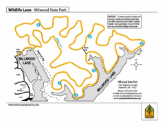
Millwood State Park Trail Map
Map of Millwood State Park showing the Wildlife Lane Trail.
51 miles away
Near ashdown, ar

Moro Bay State Park Map
Map of Moro Bay State Park showing trails and park amenities.
51 miles away
Near Moro Bay, AR

Lake Catherine State Park Trails Map
Hiking Trail map for Lake Catherine State Park also showing overview of the lake and park...
52 miles away
Near Malvern, AR

Hot Springs National Park map
Official NPS map of Hot Springs National Park in Hot Springs, Arkansas.
57 miles away
Near Hot Springs National Park, AR

 click for
 Fullsize

0 Comments
New comments have been temporarily disabled.