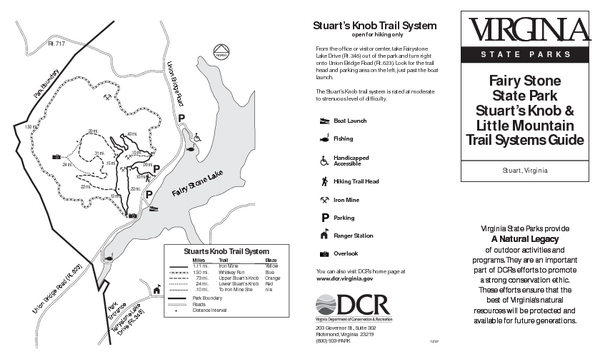
Fairy Stone State Park Map
near Fairy Stone State Park, Virginia
See more
 See more
Nearby Maps

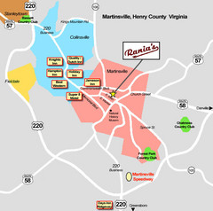
Martinsville Restaurant and Hotel Map
14 miles away
Near Martinsville, VA

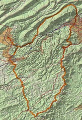
Twelve O'Clock Knob Loop Map
This is a pretty significant ride in Virginia. The main feature is two devastating back-to-back...
27 miles away
Near christiansburg

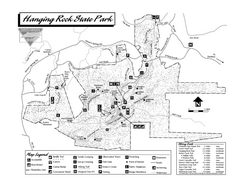
Hanging Rock state park Map
Interior color map of Hanging Rock State Park.
29 miles away
Near Danbury, North Carolina

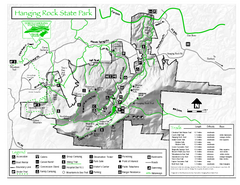
Hanging Rock State Park map
Detailed recreation map for Hanging Rock State Park in North Carolina
29 miles away
Near Danbury, NC 27016

Hanging Rock, campground site map
Hanging Rock State park, map of family campground sites
29 miles away
Near Danbury, North Carolina

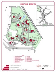
Virginia Tech Map
Virgina Tech Campus Map, shows location of all buildings and includes a reference map that shows...
34 miles away
Near Blacksburg, Virginia, USA

 click for
 Fullsize

0 Comments
New comments have been temporarily disabled.