Edit this map

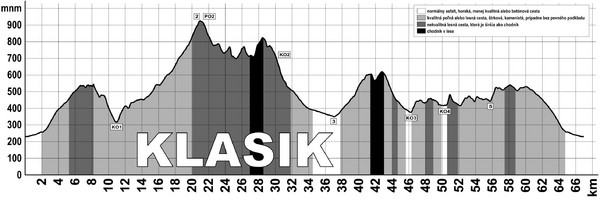
Elevation Profile for Klasik Route Map

near Nova Dubnica, SR

View LocationView Map

48.9376189 18.1479679 11 satellite
Nearest Map »  Fullsize
2831 × 945298 KBJPG

Elevation Profile for Klasik Route Map for 2008 for Dubnicky Marathon

From maraton.sk

Pete Sanchez added
Jan 25, 2009

Rating
no ratings

See an error? Report it.

Keywords

events, elevation profile, marathon

0 Comments

New comments have been temporarily disabled.
See more

Nearby Maps

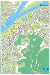
Trencin Tourist Map

Trencin Tourist Map

Tourist map of Trencin, Slovakia. Shows points of interest.

6 miles away

rated 5 by 1 person
Near Trencin, Slovakia
Keywords: tourism, city, slovakia
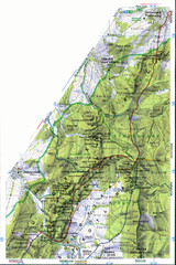
Sulovske vrchy Map

Sulovske vrchy Map

25 miles away

Near Sulov
Keywords: tourism
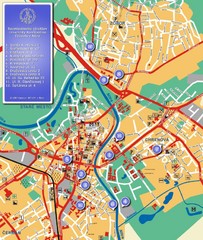
Nitra City Map

Nitra City Map

City map of central Nitra, Slovakia

43 miles away

Near Nitra, Slovakia
Czechoslovakia Land Use Map

Czechoslovakia Land Use Map

Map of Czechoslovakia region land use

45 miles away

Near Czechoslovakia
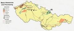
Czechoslovakia Resources Map (1974)

Czechoslovakia Resources Map (1974)

Map of 1974 Czechoslovakia resources

46 miles away

Near Czechoslovakia
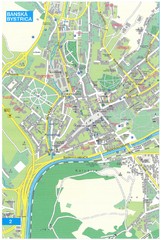
Banska Bystrica Tourist Map

Banska Bystrica Tourist Map

Tourist map of central Banska Bystrica, Slovakia. Shows points of interest. Scanned.

48 miles away

Near Banska Bystrica, Slovakia
See more