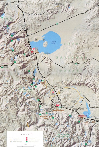
Eastern Sierra Trailhead Map - Lee Vining and Mammoth Lakes
View Location
Shows ranger stations and major trailheads in the eastern Sierra Nevada in the Mono Lake and Mammoth Lakes region. Major lakes and peaks labeled. Covers parts of Inyo National Forest, Hoover Wilderness, Yosemite National Park, Ansel Adams Wilderness, and John Muir Wilderness.
See an error? Report it.
Keywords
recreation, trails, hiking, mountains, inyo national forest, hoover wilderness, yosemite national park, ansel adams wilderness, john muir wilderness, natalkz, lakeNearby Maps
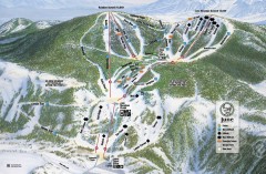
June Mountain Ski Trail Map
Official ski trail map of June Mountain ski area from the 2007-2008 season.
5 miles away
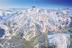
Mammoth Mountain Ski Trail Map
Trail map from Mammoth Mountain, which provides downhill, nordic, and terrain park skiing. It has...
12 miles away
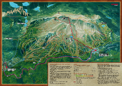
Mammoth Mountain Bike Park Map
Shows all trails at the Mammoth Mountain Bike Park.
12 miles away
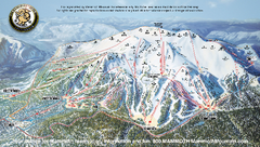
Mammoth Mountain Downhill Skiing Trails Map
Downhill skiing trails on Mammoth Mountain, near Mammoth Lakes, California. Shows trails and their...
12 miles away
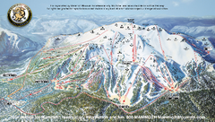
Mammoth Mountain Ski Trail map 2005
Official ski trail map of Mammoth Mountain ski area from the 2005-2006 season.
12 miles away

 click for
 Fullsize


0 Comments
New comments have been temporarily disabled.