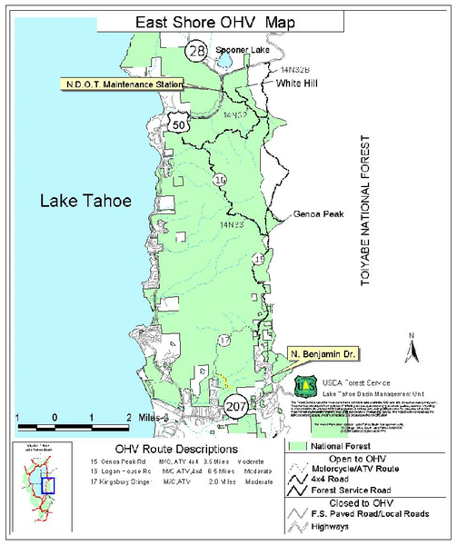
East Shore Lake Tahoe Off-highway Vehicle Map
near lake tahoe, ca
View Location
Off-highway vehicle map of the East Shore of Lake Tahoe, California. Shows roads open to motorcycles, ATVs, and 4x4s.
See more

 See more
Nearby Maps

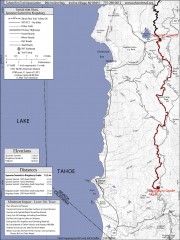
Tahoe Rim Trail: Spooner Summit to Kingsbury...
Topographic hiking map of the Spooner Summit-Kingsbury North leg of the Tahoe Rim Trail. Bike and...
1 mile away
Near lake tahoe, ca

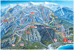
Heavenly Valley Ski Trail Map
Official ski trail map of Heavenly Valley ski area from the 2007-2008 season.
6 miles away
Near Wildwood and Saddle, South Lake Tahoe, CA 96150

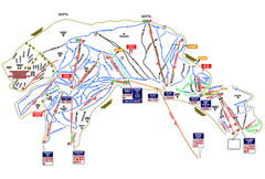
Heavenly Ski Resort Ski Trail Map
Trail map from Heavenly Ski Resort, which provides downhill, nordic, and terrain park skiing. It...
7 miles away
Near South Lake Tahoe, California, United States

Digital Elevation Model Satellite Tahoe Map
Digital Elevation Models
8 miles away
Near Lake Tahoe, ca

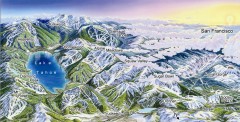
Lake Tahoe Ski Resort map
Winter map of Lake Tahoe showing relative position of all ski resorts. South-facing view. Created...
8 miles away
Near Lake Tahoe, CA

Lake Tahoe Area, California Map
Recreation map of Lake Tahoe, California. Points of interest shown include golfing, skiing, and...
8 miles away
Near lake tahoe, ca

 click for
 Fullsize


0 Comments
New comments have been temporarily disabled.