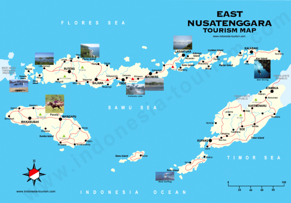
East Nusatenggara Tourist Map
near Nusatenggara, Indonesia
See more
 See more
Nearby Maps

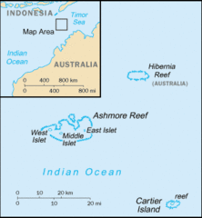
Ashmore and Cartier Islands Tourist Map
57 miles away
Near Ashmore and Cartier Islands

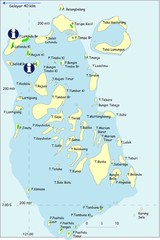
Taka Bonerate Map
The Bonerate National Park is home to the third biggest atoll in the world after Kwajifein in the...
200 miles away
Near taka bonerate, indonesia

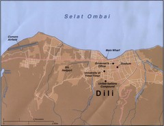
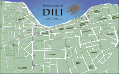
Dili Map
247 miles away
Near EAST TIMOR

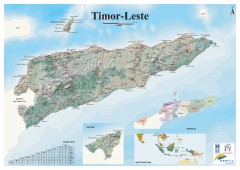
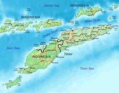
East Timor Relief Map
Shaded relief map of East Timor. Inset map shows location in Southeast Asia. Additional inset...
252 miles away
Near East Timor

East Timor Map
252 miles away
Near EAST TIMOR

 click for
 Fullsize


0 Comments
New comments have been temporarily disabled.