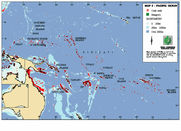
East Asian Pacific Ocean Map
near Hawaii, USA
View Location
Map of the Pacific Ocean surrounding East Asian Islands from the Solomon Islands to USA Hawaii.
See more
 See more
Nearby Maps

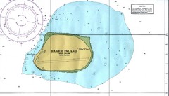
Baker Island Nautical Map
Nautical map of US unincorporated territory of Baker Island.
294 miles away
Near Baker Island

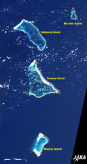
Kiribati Islands Map
Kiribati satellite image of Kiribati Islands of Tarawa Island, Abaiang Island, Marakei Island, and...
430 miles away
Near Tarawa Island, Kiribati

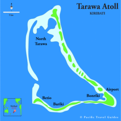
Tarawa atoll Map
436 miles away
Near tarawa

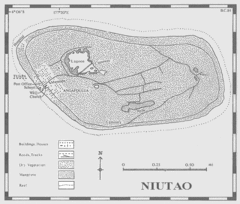
Niutao island Map
491 miles away
Near tuvalu

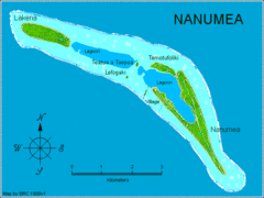
Nanumea atol Map
493 miles away
Near tuvalu

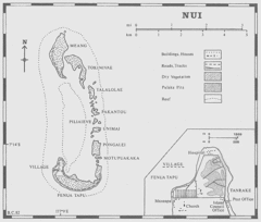
Nui atoll Map
567 miles away
Near tuvalu

 click for
 Fullsize


0 Comments
New comments have been temporarily disabled.