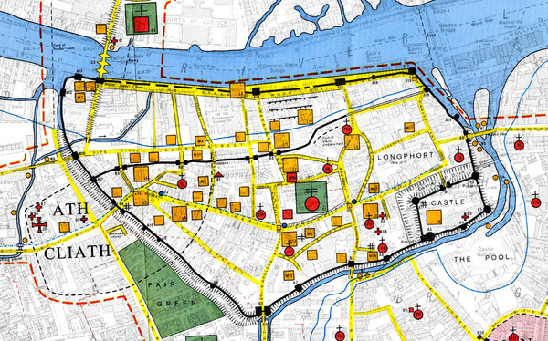
Dublin Medieval Map
near Dublin, Ireland
View Location
Map of Dublin's medieval city superimposed on a modern OS map. (From H.B. Clarke, 'Dublin c. 840 to c. 1540: the Medieval town in the Modern City' (Dublin, Ordnance Survey, 1978)).
See more
 See more
Nearby Maps

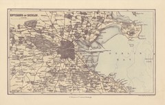
Dublin Environs Map
This is a map of Dublin surrounding areas - historical map.
less than 1 mile away
Near Dublin, Ireland

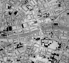
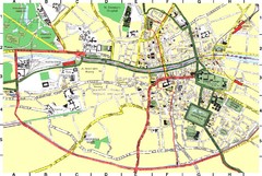
Dublin, Ireland City Map
less than 1 mile away
Near Dublin, Ireland

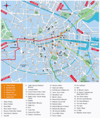
Dublin, Ireland City Map
less than 1 mile away
Near Dublin, Ireland

1608 Dublin Historical Map
less than 1 mile away
Near Dublin, Ireland

 click for
 Fullsize


0 Comments
New comments have been temporarily disabled.