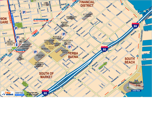
Downtown San Francisco: South of Market, Yerba Buena Center and South Beach Map
near san francisco, ca
View Location
Tourist map of South of Market (SOMA), Yerba Buena Center, and South Beach areas in downtown San Francisco, California. Shows buildings, public transportation, parks, and other points of interest.
See more
 See more
Nearby Maps

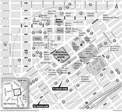
San Francisco City Center Map
less than 1 mile away
Near San Francisco, CA

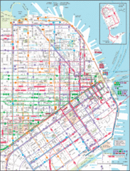
Downtown San Francisco Transit Map
Guide to area and transit in downtown San Francisco
less than 1 mile away
Near San Francisco , CA, US

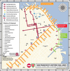
San Francisco Historic Rail Map
Map of San Francisco historic rail lines
less than 1 mile away
Near San Francisco, CA

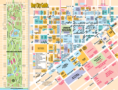
Union Square Tourist Map
Tourist map of Union Square district in San Francisco, California. Shows all venues and points of...
less than 1 mile away
Near Union Square, San Francisco

Academy of Art University San Francisco, CA Map
less than 1 mile away
Near academy of art university san francisco, ca

1852 San Francisco Map
Guide to San Francisco, prior to 1852
less than 1 mile away
Near San Francisco, CA, US

 click for
 Fullsize


0 Comments
New comments have been temporarily disabled.