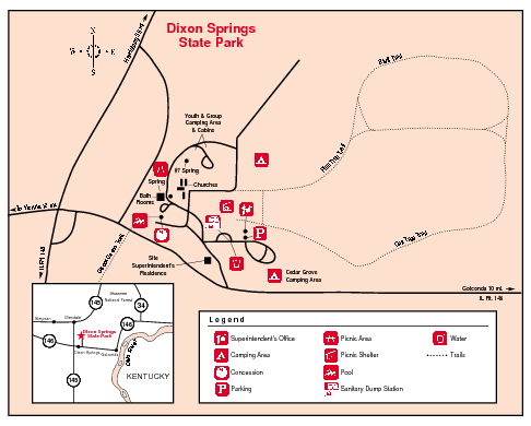
Dixon Springs State Park, Illinois Site Map
near Dixon Springs State Park, Illinois
See more
 See more
Nearby Maps

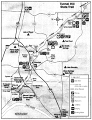
Tunnel Hill State Trail, Illinois Site Map
14 miles away
Near Tunnel Hill state trail, Illinois

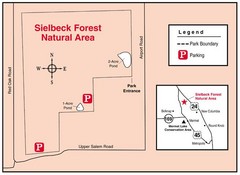
Sielbeck Forest, Illinois Site Map
14 miles away
Near Mermet Lake, Illinois

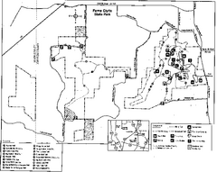
Ferne Clyffe State Park, Illinois Site Map
20 miles away
Near Ferne Clyffe, Illinois

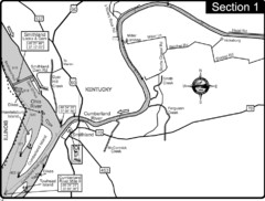
Smithland, KY Cumberland & Ohio Rivers Map
This is the mouth (end) of the Cumberland River as it pours into the Ohio River after flowing 695...
22 miles away
Near Smithland, KY

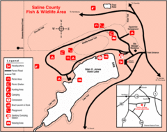
Saline County State Fish & Wildlife Area...
22 miles away
Near Saline County, illinois

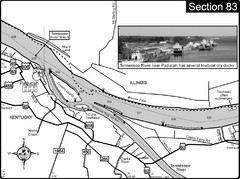
Ohio River & Tennessee River at Paducah, KY...
This is a page from the Ohio River Guidebook. The map shows important information for boaters and...
23 miles away
Near Paducah, KY

 click for
 Fullsize

1 Comments
the walk is a waste of money its stuid crazy the people who getting money off of that is a dumb stuip person