Edit this map

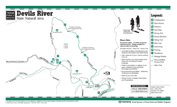
Devil's River, Texas State Park Facility and Trail Map

near Devil's River, Texas

View LocationView Map

29.971287 -101.159302 10 satellite
Nearest Map »  Fullsize
58 KBPDF

From www.tpwd.state.tx.us

Brigid added
Jun 27, 2009

Rating
no ratings

See an error? Report it.

Keywords

recreation, state park, park, facility, trails

0 Comments

New comments have been temporarily disabled.
See more

Nearby Maps

Seminole Canyon, Texas State Park Facility and...

Seminole Canyon, Texas State Park Facility and...

22 miles away

Near Seminole Canyon, Texas
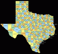
Texas County map

Texas County map

Map shows names of all counties in Texas

105 miles away

Near Texas
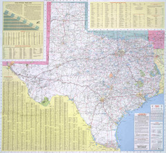
Texas Road Map

Texas Road Map

Official Texas DOT highway map. A bit blurry.

105 miles away

rated 2 by 1 person
Near Texas
Keywords: reference, road
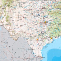
Texas Physical Map

Texas Physical Map

Physical map of state of Texas with shaded relief

105 miles away

rated 3 by 1 person
Near Texas
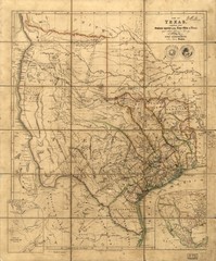
Republic of Texas Map 1841

Republic of Texas Map 1841

A map of Texas compiled from surveys recorded in the Land Office of Texas. The map shows the...

105 miles away

rated 2 by 2 people
Near Texas
Fort Richardson, Texas State Park Facility and...

Fort Richardson, Texas State Park Facility and...

110 miles away

Near Fort Richardson, Texas
Keywords: recreation
See more