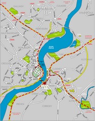
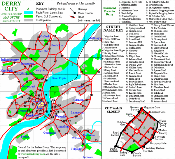
Derry/Londonderry Map
near Derry
See more
 See more
Nearby Maps

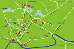
Londonderry Map
less than 1 mile away
Near 15 – 19 Spencer Road Waterside L’Derr

Letterkenny Map
17 miles away
Near Letterkenny, Ireland

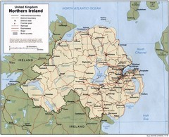
Northern Ireland Map
Map of Northern Ireland showing roads, cities, railroads and borders.
33 miles away
Near Ireland

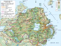
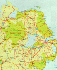
Northern Ireland General Map
Guide to Northern Ireland, major cities, topography and roads
34 miles away
Near Northern Ireland

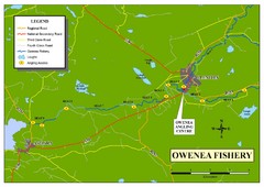
Owenea Fishery Map
Road Map of Owenea Fishery. Shows the location of the Owenea Fishery including all roads, towns...
46 miles away
Near Ardara, Ireland

 click for
 Fullsize

0 Comments
New comments have been temporarily disabled.