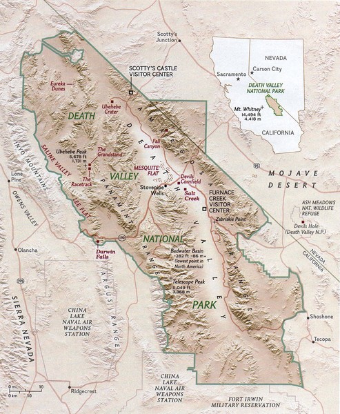
Death Valley National Park Map
near Death Valley california
See more
 See more
Nearby Maps

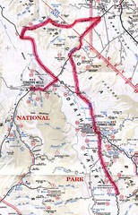
Death Valley Guide Map
8 miles away
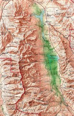
Near Death Valley

Death Valley National Park Map
17 miles away
Near Death Valley National Park

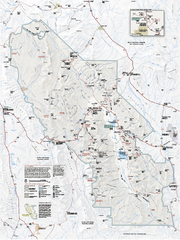
Death Valley National Park map
Official NPS map of Death Valley National Park. Shows all roads (paved and unpaved), 4 wheel drive...
18 miles away
Near Death Valley National Park, CA

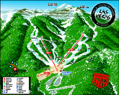
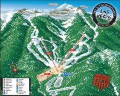
Las Vegas Ski & Snowboard Resort Ski Trail Map
Trail map from Las Vegas Ski & Snowboard Resort, which provides downhill skiing.
67 miles away
Near Mount Charleston, Nevada, United States

Las Vegas Ski & Snowboard Resort Ski Trail Map
Official ski trail map of Las Vegas Ski & Snowboard Resort (LVSSR) from the 2007-2008 season.
67 miles away

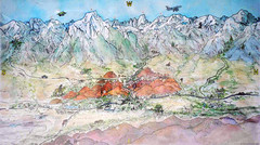
Lone Pine Map
Panorama tourist map of town of Lone Pine, California with surrounding area including the Alabama...
71 miles away
Near Lone Pine, CA

 click for
 Fullsize

0 Comments
New comments have been temporarily disabled.