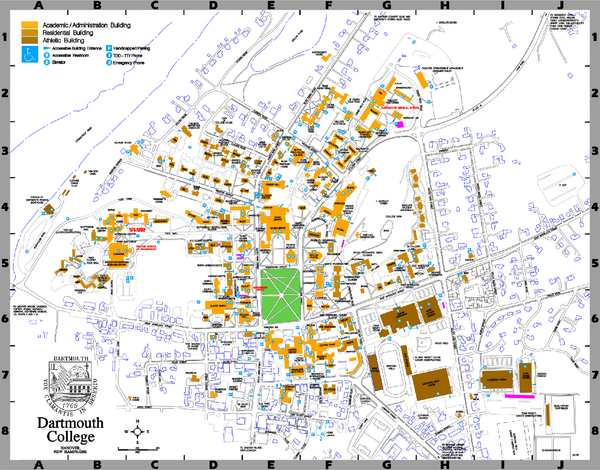
Dartmouth College campus map
near Hanover, NH
View Location
Map of Dartmouth College. Shows all academic, administration, residential, and athletic buildings.
Tweet
See an error? Report it.
Keywords
school, college, campus, university, ivy league, moore hall, filene auditorium, cook auditorium, cutters shabez, cutters shabez, fairfield, fairfield, fairfield, lebanon See more
 See more
Nearby Maps

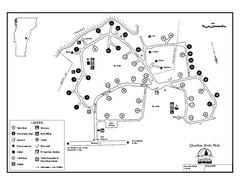
Quechee State Park map
Campground map for Quechee Gorge State Park in Vermont
7 miles away
Near White River Junction, Vermont 05001

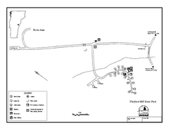
Thetford State Park Campground Map
Campground map for Thetford Hill State Park in Vermont
8 miles away
Near Thetford Ctr., Vermont 05075

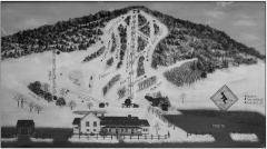
Quechee Club Ski Trail map
Official ski trail map of Quechee ski area from the 2006-2007 season.
8 miles away
Near Quechee, VT

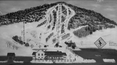
Quechee Lakes Ski Trail Map
Trail map from Quechee Lakes.
8 miles away
Near Quechee, Vermont, United States

Whaleback Ski Trail Map
A Trail Map of Whaleback Ski Area
9 miles away
Near 160 Whaleback Mountain Road, Enfield, NH 03748

 click for
 Fullsize


1 Comments
Legible would be nice