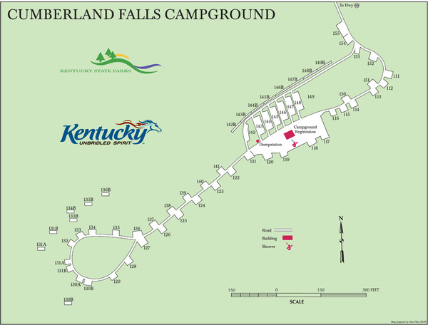
Cumberland Falls Map
near Cumberland Falls
See more
 See more
Nearby Maps

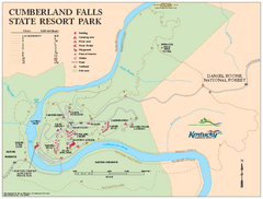
Cumberland Falls State Resort Park map
Detailed recreation map for Cumberland Falls State Resort Park in Kentucky
2 miles away
Near 7351 Highway 90, Corbin, KY 40701-8857

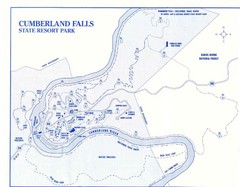
Cumberland Falls State Resort Park Map
Cumberland Falls Park Area Map
2 miles away
Near Cumberland Falls, ky

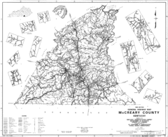
Mccreary County General Highway Map
Map of McCreary County with road, waterways and towns identified.
12 miles away
Near Mccreary County, ky

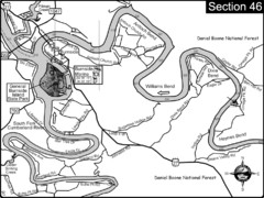
Burnside, KY-Cumberland River Map
Burnside, Kentucky is located at the fork of the Cumberland River and the South Fork. This is...
18 miles away
Near burnside, ky

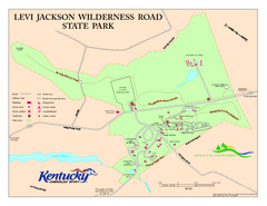
Levi Jackson Wilderness Road State Park Map
Map of trails and facilities of Levi Jackson Wilderness Road State Park.
24 miles away
Near London, KY

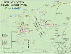
Pine Mountain State Resort Park Map
Map of trails and facilities in Pine Mountain State Resort Park .
36 miles away
Near pineville, ky

 click for
 Fullsize


0 Comments
New comments have been temporarily disabled.